
Bozeman is a fun Montana city with a handful of good stand-up paddle places nearby. Hyalite Reservoir, Fairy Lake and the Madison River are all well know locally as quick escapes on the water. The Hyalite area, in particular, is surrounded by many miles of hiking and biking trails that easily roll into a multi-sport day.
 |
| Hyalite Reservoir, view upvalley |
Hyalite Reservoir
The Hyalite recreation area is one Bozeman's quickest escapes to Montana's forested high country. It is understandably popular, but big enough to disperse a lot of the crowds. It is accessed from Hyalite Canyon Road, 7 miles south from downtown Bozeman on 19th Street. The first water access point to the water is 10 miles up the canyon, just before the road crosses the dam.
 |
| Vicinity Map |
Location Info: [key]
Scenery: 3
Shoreline Interest: 2
Use: Moderate
Fee: None for day use
Access: Paved/Gravel
Full elev: 6730
Weather
Fairy Lake
Hyalite Reservoir itself is about 1.5 miles long and a quarter mile across at most. The Hyalite Canyon Road travels the length of the lake and offers multiple places to launch a paddleboard. The large parking area just before the dam is the main Hyalite Day use area. There is a boat ramp here, a covered pavilion, and trailheads to multiple hiking trails. This is also the northern terminus of the well-used Westshore Trail, which parallels the shoreline all the way to the south end of the lake. The main Hyalite day use area is the most popular launch location for watercrafts, but isn't necessarily the best, depending on where you're looking to go. However, if it's a breezy day with a north or west wind direction, this corner of the lake will probably have calmer waters.
 |
| Westshore Trail, with Upper Hyalite Valley beyond |
Another good put-in is at Hood Creek, across the dam and 1.3 miles further up the road. Hood Creek has a campground as well as a day-use area right next to the water. Hood Creek tends to be less busy, with scenic mountain vistas further up the Hyalite Valley
A third water access is next to the Chisholm campground, 1.6 miles beyond the main Hyalite day use area. However, if the water level drops too low, this spot may be far from the water. The lake is narrower here--about 1100 feet. If water conditions are okay, a paddle across the lake can be a fun goal.
Crescent Lake
For a little extra effort, a quieter, more secret paddle can be found on tiny Crescent Lake, just beyond Hyalite's west shore. It involves a short portage of about 400 feet on an easy, improved trail. It is directly across from the campground part of the Chisholm recreation site, or slightly south (left) if starting from the roadside day use parking. The best way to find it is to look for hikers of bikers on the Westshore trail, and aim for where the trail skirts closest to the shoreline. The small pond that is just across opposite the Westshore Trail is not Crescent Lake. An obvious, short spur trail to Crescent Lake can be found just north (right) of the pond on the Westshore Trail. Narrow Crescent Lake is surrounded by forest and is a good place to disappear from the crowds.
 |
| Crescent Lake |
Hyalite area hiking and biking
The main and east forks of Hyalite Creek converge at the head of the reservoir. Both are lush, forested and steep-sided mountain valleys that lead up to beautiful subalpine cirques.
The Hyalite Creek trailhead is at the end of Hyalite Canyon Road, 1 mile past the Chisholm campground. Grotto Falls is an easy, family-friendly destination that is a 1.0 mile hike up the Hyalite Creek Trail. Contuning further along, the trail climbs moderately to reach Arch Falls at 3.2 miles, then more steeply to Hyalite Lake in the upper basin at 11 miles.
The road to the East Fork of Hyalite Creek forks left from Hyalite Canyon Road just after Chisholm campground. Palisade Falls is another family-friendly destination that starts at a highly visible trailhead 1 mile past the junction. The hike is 0.6 miles up a mild grade to the falls.
 |
| Grotto Falls |
For a longer hike, the trail to Emerald Lake begins from the East Hyalite Trailhead at the end of road--an additional mile past the Palisade Falls Trailhead. The trail climbs moderately for the first three miles, then more steeply to reach beautiful Emerald Lake at 4.7 miles and smaller Heather Lake at 5.6 miles. The Emerald Lake Trail can also be rewarding on a mountain bike, but the last third of the climb is stiff and sustained.
Finally, the Westshore Trail cruises leisurely along the west edge of Hyalite Reservoir with intermittent views out to the lake and valley. At 2.3 miles from the north trailhead at the dam to the south terminus by Window Rock Cabin, it's great trail for both hikers and bikers. A loop can also be made with the Crescent Lake Trail with some moderate extra elevation gain. The Bozeman Area recreation map by Beartooth Publishing is a great reference for navigating the trails in the Hyalite basin or anywhere else in the Bozeman area.
 |
| Palisade Falls |
 |
| Emerald Lake |
Fairy Lake
Fairy Lake is fairly close to Bozeman geographically, but 7 miles of slow, rough-ish dirt road make it feel further away. Nevertheless, it is an astonishingly scenic lake with a surreal backdrop that can feel like a fairy tale. Fairy Lake can be very popular on the weekends, so plan for mid-week if you want to avoid crowds. To access Fairy Lake, travel 21 miles north from downtown Bozeman on state highway 86, then left (west) of forest service road 74 to the Fairy Lake Trailhead. Getting to the water requires a short (0.1 mile) but moderately steep hike down an improved trail with stairs.
 |
| Fairy Lake |
Fairly lake's teal waters are stunning, particularly when shimmering in the afternoon sun. The spine of the Bridger Range is especially rugged in this area and its peaks provide a dramatic backdrop. The lake is surrounded by forests that provide a surprising amount of protection from the wind, even on breezy days. The north and south ends of Fairy Lake have colorful shallows that gradually transition from earthy yellow to teal to deep blue through the clear water. An easy trail loops around the lake, so expect to see other visitors on the shores.
 |
| Vicinity Map |
Location Info: [key]
Scenery: 5
Shoreline Interest: 2
Use: Moderate-high
Fee: None for day use
Access: Rough 2WD dirt + 500' walk down to water
Full elev: 7570; minimal water level change; natural
Rec info
Weather
Shoreline Interest: 2
Use: Moderate-high
Fee: None for day use
Access: Rough 2WD dirt + 500' walk down to water
Full elev: 7570; minimal water level change; natural
Rec info
Weather
Fairy Lake area hiking and biking
The northern Bridger Range is another place that has multiple adventures packed into a small area. After taking the time to drive up the dirt road to the lake, it is worthwhile complement another activity with an afternoon of the lake.
Sacagawea Peak is the high point of the Bridger Range and rises immediately west of Fairy Lake. A popular trail up the mountain starts at the Fairy Lake trailhead and climbs steeply for 2.2 miles to the top. The summit rewards with a commanding perspective of the steep, narrow Bridger Range and half a dozen other ranges that define the horizon.
 |
| Fairy Lake |
 |
| Shafthouse Trail high point |
Shafthouse Trail is a fairly popular mountain bike loop that starts about halfway up the Fairy Lake Road. The route uses a steep segment of road (1.7 miles) to gain some significant elevation, then climbs even more aggressively on the Shafthouse singletrack to a high shoulder on the east side of the Bridger Range (at mile 3). The subsequent descent is fun and twisty, through intermittent subalpine forests and meadows. At mile 5.1 a critical right turn onto an ATV Track traverses another 2.7 miles back to the start. The continuation of the singletrack beyond the ATV track leads far away from the Fairy Lake Road and is not advised if you don't have foolproof shuttle logistics in place. If attempting this ride, refer to the the Southern Montana Singletrack Guide by Beartooth Publishing. The beta contained within is much more complete than what can be easily obtained on the internet and is crucial for riding on these wild trails with spotty cell service.
 |
| Fairy Lake |
 |
| The Madison River |
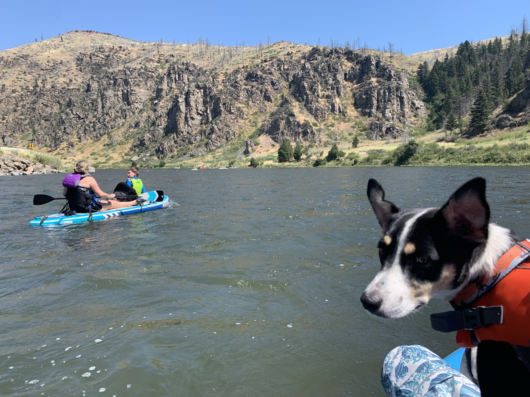
Madison River
The Madison River is another Bozeman area favorite for summertime water recreation. In particular, the segment the parallels state highway 84 between Warm Springs and Black's Ford is very popular with casual floaters. The most commonly used flotation vessel through this stretch is the inner tube. But there are plenty of people who use paddleboards, kayaks or other inflatables. The easiest and probably best way to float the Madison is to use a local shuttle company. With two vehicles a self-shuttle is possible, but note that putting in and taking out from the river is prohibited outside of BLM designated boat accesses like Warm Springs and Black's Ford. Although the Madison is mellower and more predictable than most rivers, it still poses its share of hazards and flow variability. Inquire locally about conditions with one of the outfitters in town, such as Madison River Tubing.
All waters in this post are subject to Montana Fish, Parks & Wildlife policies to prevent the introduction of aquatic invasive species. If unfamiliar with Montana AIS prevention protocols or if using watercraft from out of state, please review the state's AIS rules and regulations to ensure compliance.
Weather conditions can change quickly, so check the hourly forecast before heading out on the water. Fortunately, Hyalite, Fairy and the Madison all are bordered by roads or trails should a bailout point become necessary. Southern Montana is also habitat for potentially dangerous wildlife, such as bears and moose. While black bears are probably most common is the areas featured above, grizzly bears do live in the region. When hiking or biking on any of the area's trails, carry bear spray and know how to use it on a moment's notice.
If you travel to Bozeman, it's definitely worthwhile to bring or rent a paddleboard (or kayak) to explore the area's waters. Have fun, stay safe, and be sure to check out some of the great local businesses in town!
No comments:
Post a Comment