As Stand-Up Paddle boarding has exploded in popularity, the most convenient SUP spots along the urban corridor have become dramatically busier on hot summer weekends. One way to find solitude without having to drive for hours is by hiking to a mountain lake. Yes, you have to haul up an inflatable SUP as a form of entry tax. But what's important about the tax is not that you have to pay it; it's that few others will. SUP-packing to a secluded subalpine lake has a higher level of risk and commitment than places that are vehicle-accessible. Even so, with proper preparation, conditions assessment, and decision-making, hike-to SUP lakes can reward immensely.
 |
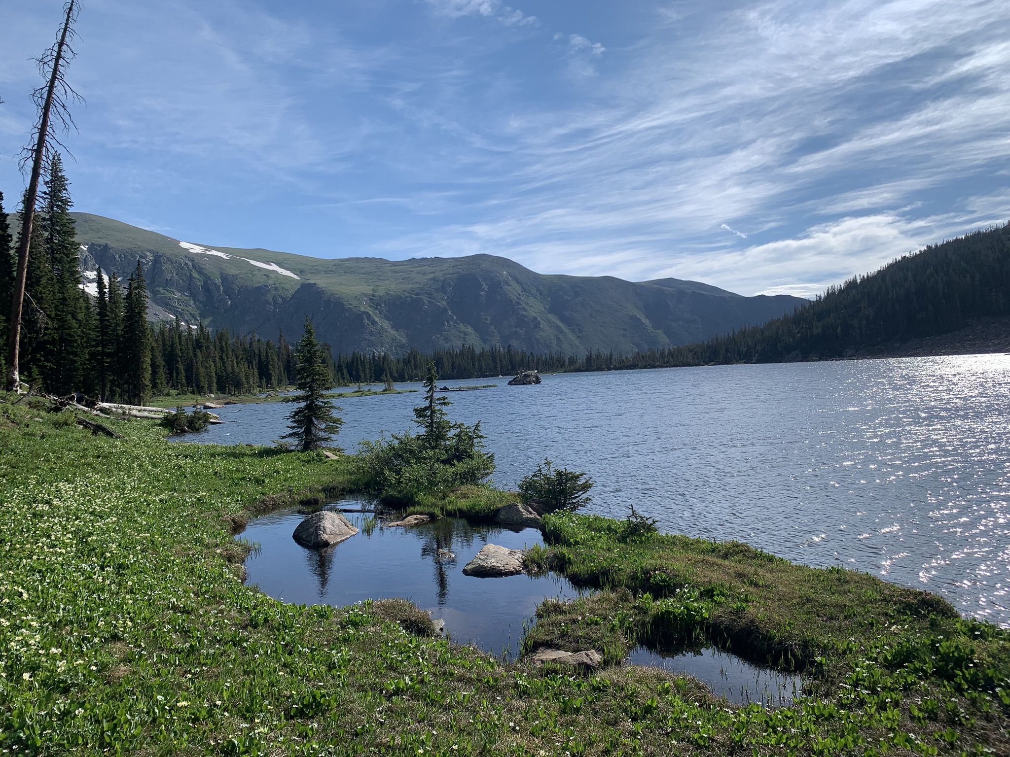
| Inflatable SUPs at their best (Upper Forest Lake) |
A detailed terrain map reveals that some areas of Colorado are gifted with more lakes than others. One region that boasts a lot water of bodies is the Indian Peaks west of Boulder. This band of small mountain lakes generally follows the east flank of the Continental Divide between Berthoud Pass and Trail Ridge Road. The lakes nestle within glacial basins that form the headwaters of the Clear Creek, Boulder, St.Vrain and Big Thompson watersheds. And there are a lot of lakes to choose from! July, August and September are great times to venture above the urban corridor to these cooler and more secluded paddle spots.
 |
| The many lakes of the IPW and JPW Map: [CPW Boatable Waters Map] |
Glacier Creek (Bear Lake Road)
[Rocky Mountain NP]
[Indian Peaks Wilderness]
[Indian Peaks Wilderness]
[James Peak Wilderness]
[Arapaho National Forest]
[Arapaho National Forest]
[Arapaho/Pike National Forests]